Welcome to GMU Flood research

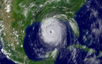
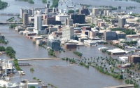
This is George Mason University Flood Reaserch, a research oriented website for generating and publishing remote sensing-based flood and standing water maps. We acquire satellite remotely sensed data obtained by MODIS and other optical sensors, and generate flood inundation coverage maps for demonstration and scientific research by next generation flood and standing water algorithm for GOES-R. Presently, The flood detection results are historical data, which can be retrieved in archive. Detection and mapping flood events in near real time will be also provided in the future.
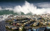
The causes of floods


